The Hike on the Silver Peak Trail
Every time I've been in the Chiricahua Mountains, I see
the trail marker for Silver Peak. I've always
wanted to make the climb but never got around to it, although Charlie and I got
partway up once.
On Jackie Lewis's George Walker House website, she reports the following
description:
Silver Peak Trail #280
Is a strenuous climb of 3,000 feet over 4.6 miles one way to the
7,975-foot summit.
The trailhead is in Cave Creek Canyon, just upcanyon from the
information center.
Bring a hat and lots of water—there's little shade—and avoid the
trail if thunderstorms threaten.
There is a log book at the top. Most hikers only sign their name
once. I think it has something
to do with the same rational that created the Japanese proverb: "A
wise man only climbs Mt. Fuji once."
I can't describe it any better myself,
except it was cool and cloudy today, nice weather for a hike. By the time I got
to
the top, I was just concentrating on putting one foot in front of the other. An
old fire lookout foundation is still up there.
The view was pretty spectacular, even under the cloudy, gloomy skies. In the log
book, I found the names of 3 students from USD.
I remembered Dave Swanson had taken his ornithology class down there last year,
so I guess that expains that.
By the time I got back to the truck, I was definitely tuckered out.
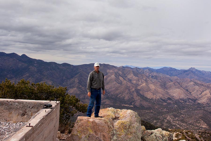
The old fire lookout foundation. Looking north, Cochise Head is in the
background on the right.
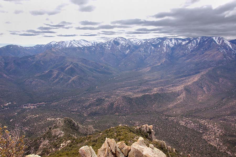
Looking west, toward Chiricahua Peak. The Southwest Research Station can be seen
in the valley on the left.
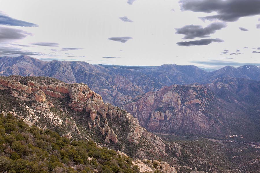
My truck is down there, behind the rock ridge. If I was a bird I could be there
in about 1/2 minute, but it is 4.5 miles downhill for me.
No shortcuts.
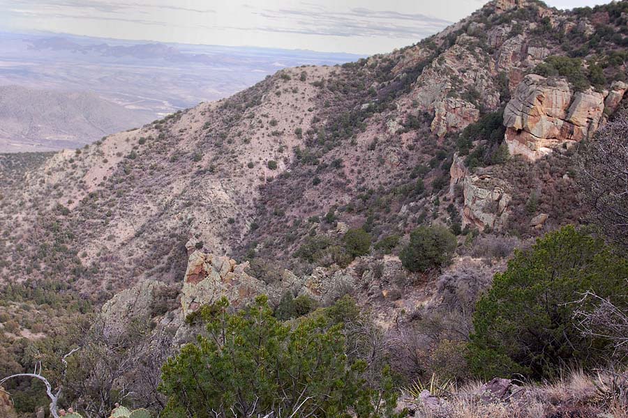
Switchbacks on the trail in the middle left. See the big rock on the middle
right?
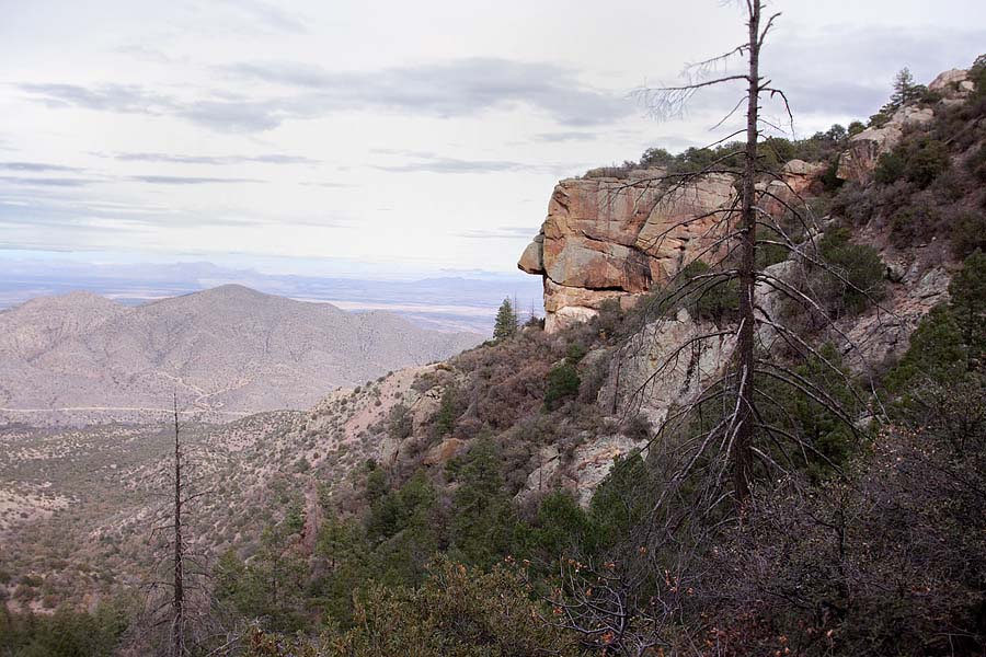
Here is is from a lower place. Looks like a big nose, it is a mimetolith.
Here's a
link to the Forest Service website with more info about the Silver Peak
Trail.
Back to AZ2013